Erlebnisraum Römerstraße
Touristisches Informations- und Leitsystem
Leistungen: Konzeption, Informationsdesign, Realisierung. In Kooperation mit Planergruppe Oberhausen und Reicher Haase Architekten

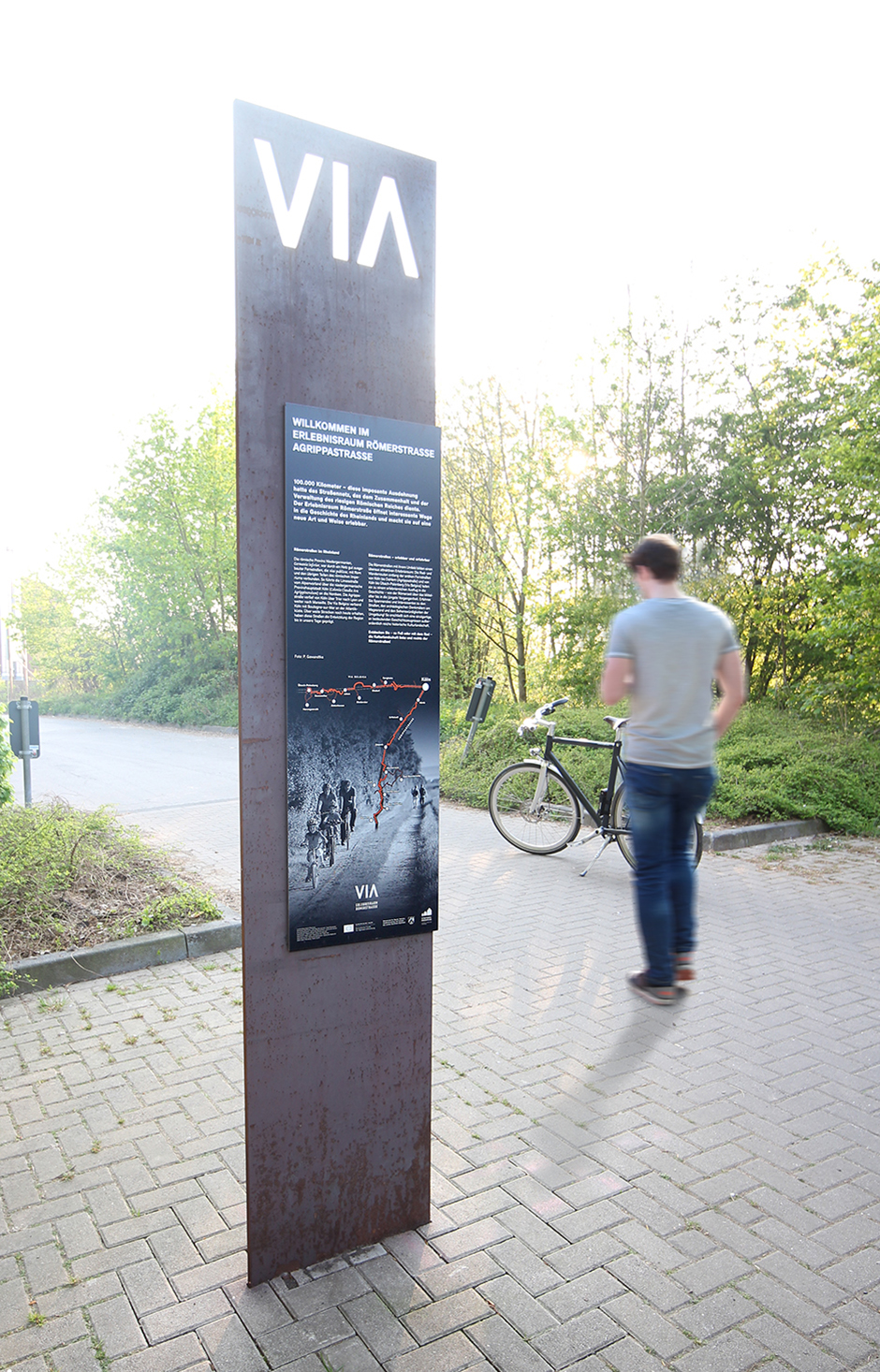
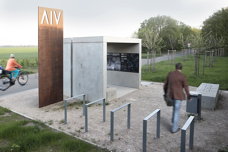
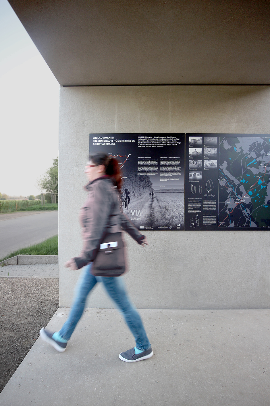
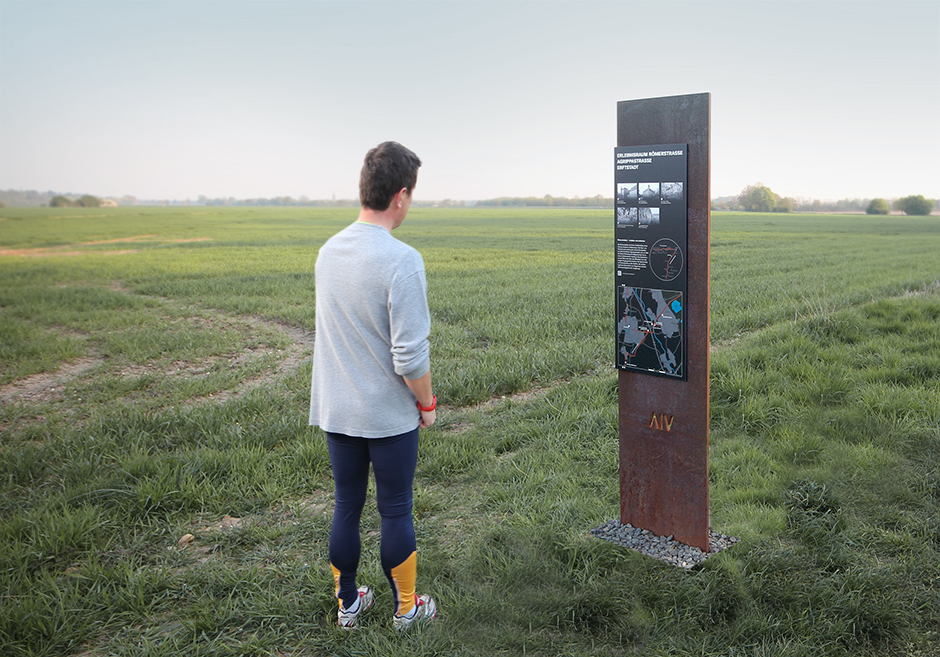
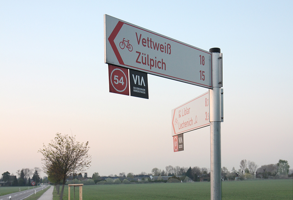
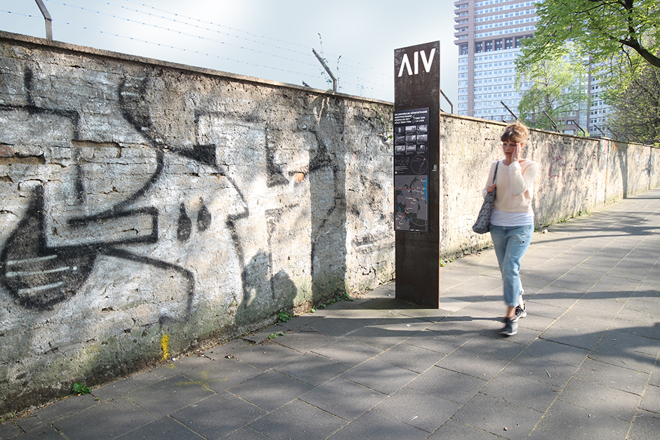
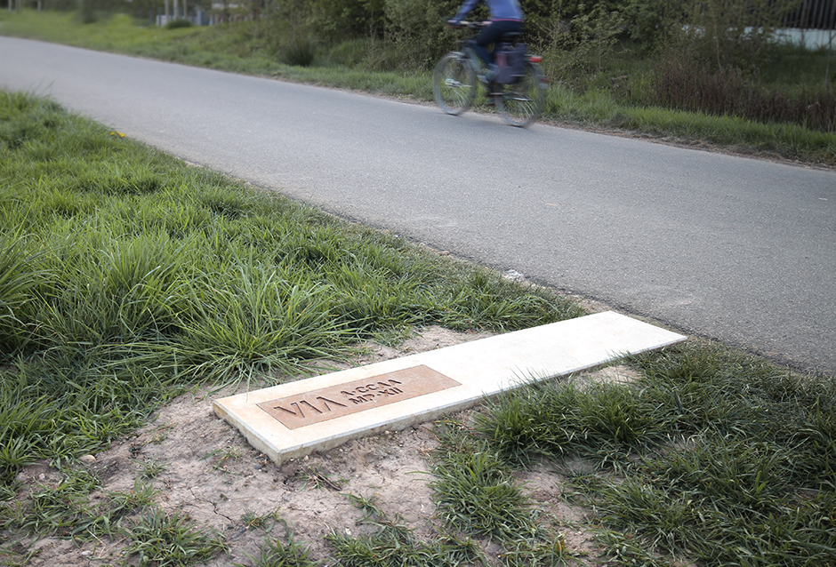
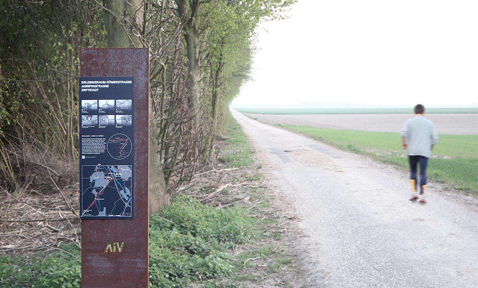
Für eine Rad- und Wanderroute auf und entlang der historischen Römerstraßen im Rheinland wird ein 140 Kilometer langes Beschilderungs- und Informationssystem entwickelt. Das System aus Informationselementen, Wegeführung, Rastplätzen und Aussichtsplattformen macht die 2000-jährige Geschichte der ehemaligen Agrippastraße und Via Belgica und ihre historische Bedeutung für die Region erlebbar. Landschaft und Menschen erhalten so ein Stück ihrer jahrhundertealten Geschichte und der damit verbundenen Einzigartigkeit und Identität zurück. Auch technisch zeichnet sich das System durch eine Besonderheit aus: Massiver Cortenstahl, der sich unbehandelt durch seine Rostschicht selbst konserviert, sorgt in Kombination mit Sichtbetonoberflächen und einer witterungs- und vandalismusbeständigen Bedruckung für die notwendige Beständigkeit.
A 140-kilometre-long signage and information system is being developed for a cycle and hiking route on and along the historic Roman roads in the Rhineland. The system of information elements, route guidance, resting places and viewing platforms makes the 2,000-year history of the former Agrippastraße and Via Belgica and their historical significance for the region experienceable. In this way, the landscape and the people get back a piece of their centuries-old history and the uniqueness and identity associated with it. From a technical point of view, the system is also unique: Massive corten steel, which conserves itself through its rust layer when untreated, provides the necessary durability in combination with exposed concrete surfaces and a weatherproof and vandalism-proof coating.
